Professional Services
We deliver accurate, reliable, and impartial results that empower landowners and administrators with clarity and confidence to make informed decisions about their property and resources.

Water Boundaries
We specialize in resolving complex water boundary concerns through a comprehensive approach that includes detailed historic research and thorough aerial photography review. Whether dealing with shifting water boundaries, accretion, erosion, or ambiguous legal descriptions, we provide expert analysis and reliable boundary solutions grounded in both modern technology and historical context.
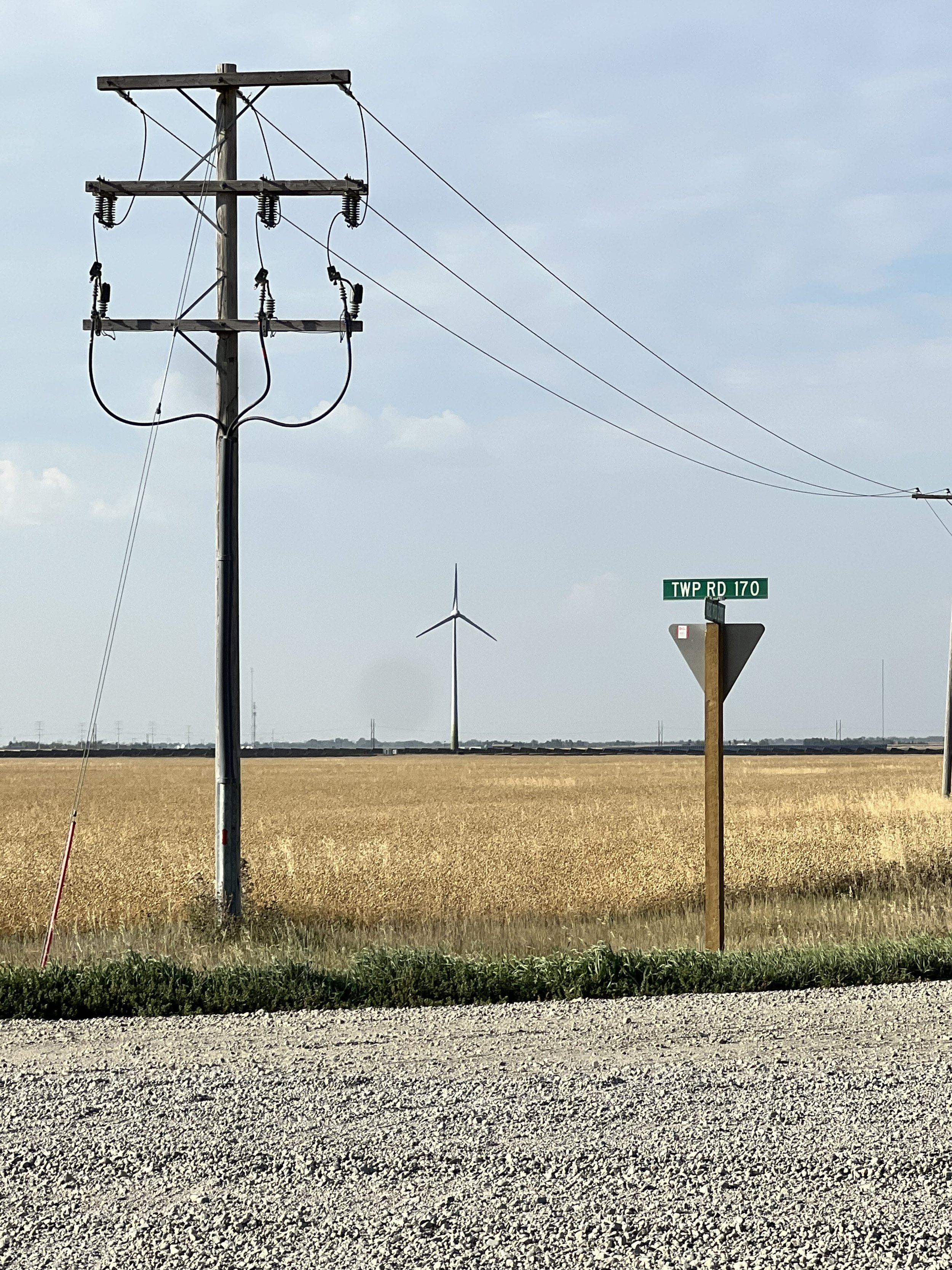
Site Planning and Easement Analysis
We provide in-depth title review and easement analysis to support effective project planning, including title research and detailed illustrations of easements that may not be visible on the ground however may impact land use and development.

Legal Surveys
We deliver legal survey plans to support land transactions and development, including consolidations, road closure bylaw descriptions, and compile plans. Our work ensures compliance with regulatory standards and accurate representation of property boundaries.

Mapping
Whether you're managing infrastructure, land, or resources, we provide GIS and mapping solutions to help you stay organized and informed.